Flood Maps & Studies
Floodplain maps help to identify areas that may be at risk of flooding during severe storms. Flood maps are critical tools for informing communities about their flood risk and supporting flood management discussions that involve the public.
Providing communities with floodplain maps that accurately reflect flood hazards can help people make informed decisions about flood and emergency preparedness such as evacuation plans, flood-proofing property measures and insurance needs.
Tahsis
Sayward
- Salmon and White River Floodplain Modernization Final Report (2021)
- Salmon and White River Floodplain Map (2021)
- Salmon and White River Flood Hazard Map (2021)
- Salmon and White River Floodplain Update – Coastal Analysis (2021)
- Salmon and White River Floodplain Update – November 2021 Public Presentation
- SRD Flood Risk Presentation 2019
- Salmon River Flood Risk Assessment 2019
- Errata: Correction to the 2019 Salmon & White Rivers Flood Risk Assessment
- Salmon & White Rivers Flood Frequency Analysis 2019
- Risk Assessment Info Template (RAIT) for Salmon & White Rivers 2018
Strathcona Regional District GIS Flooding Site
Click here to view flooding information in the SRD such as floodplain maps, river gauges and weather alerts.
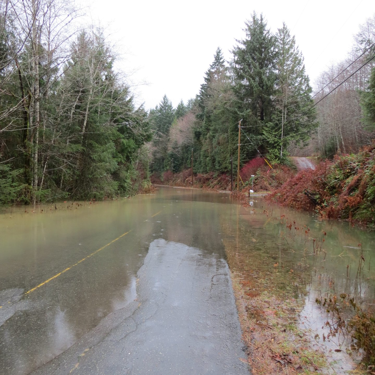
Community Engagement Flood Photos
- Sayward (coming soon)