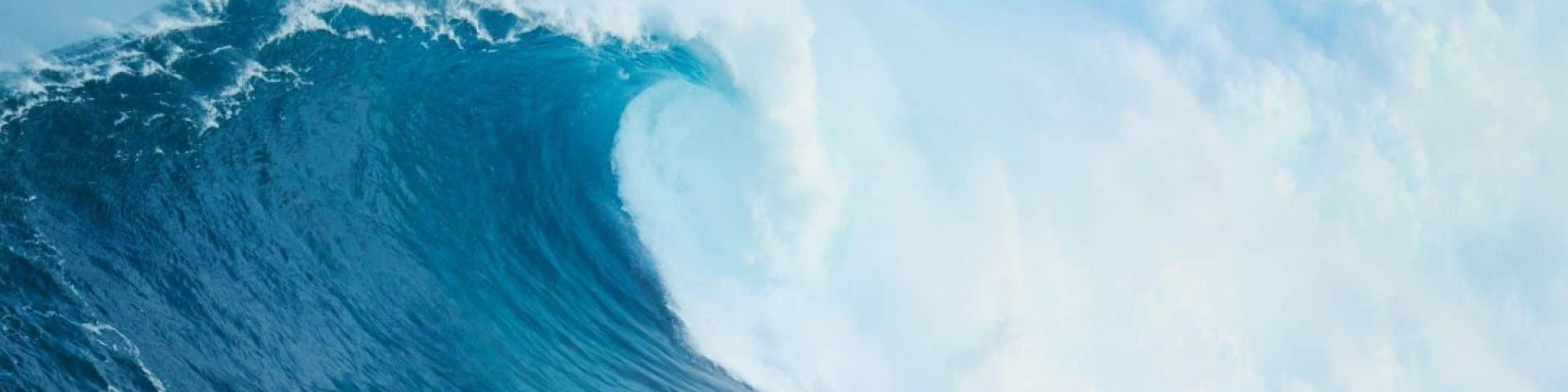
Close Alerts

Tsunami Resources & Maps

Here is a “one-stop shop” for all tsunami-related content ever developed by the SRD. Please click on the link that interests you.


ABOUT TSUNAMIS

A tsunami is a natural hazard consisting of a series of long, surge-like waves generated when a large volume of ocean water is rapidly displaced. Most tsunamis are caused by major subduction zone earthquakes, where there is significant displacement of the ocean floor. Tsunami waves differ from ordinary coastal waves in that the entire column of water from the ocean floor to the surface is affected. Tsunami waves contain considerable energy; they can travel further inland compared to ordinary coastal waves. A tsunami may not look like a wave at all, but will have very strong currents under its surface.

A tsunami is a series of waves. The first wave to arrive at the coast is often not the largest and each wave may be separated by up to an hour or more. Waves may continue for up to twelve hours; please stay away from the shore until local officials say its safe to return.

Tsunamis are a challenging hazard to respond to. The arrival time of the wave generated far out at sea can be predicted fairly accurately, however, the intensity of the wave when it reaches shore is more difficult to predict, particularly in real time during an event.

Local vs. Distant Tsunamis

On the west coast of North America, tsunamis are categorized as local or distant, depending on the location of the earthquake and the size of the area affected.

Local Tsunamis

A local tsunami is generated from a source within 1,000 kms or less than 1 hour tsunami travel time from its source to the area impacted. For the west coast of the Strathcona Regional District, it could be minutes before the tsunami reaches the shoreline. Damage and inundation from a local tsunami is typically widespread. Major earthquakes are often a precursor to a local tsunami. The most dangerous tsunami threat to the BC coast will follow a major, “megathrust” earthquake. Such an earthquake will cause ground shaking lasting three to five minutes. The shaking will be so strong it will be difficult to stand in many places.

Local Tsunami Notification

How will I know if a tsunami is coming?

For a Local Tsunami STRONG SHAKING IS THE WARNING –
Do NOT rely on official notices for warning to evacuate.

While a distant tsunami will likely allow time for an official tsunami message to be given, a local tsunami can reach the shoreline in minutes and may NOT allow for an official warning to take place.

In this case natural signs may be the only warnings to take action, such as:

  • the strong shaking from the earthquake
  • a receding ocean, or
  • a loud roar-like sound

Local Tsunami Evacuation

If you are near the coast and feel a major earthquake making it difficult to stand, you must “Drop, Cover, and Hold On”, and then evacuate to higher ground immediately.

The first wave generated from an earthquake could reach with west coast of the Strathcona Regional District area within 15-20 minutes. The first wave to arrive may not be the largest. Get your Grab-and-Go bag and Emergency Plan if easily accessible and evacuate immediately on foot or by bicycle to an area outside of the tsunami hazard area.

Do not return to low-lying areas to gather your belongings. Emergency Officials will let you know when it is safe to return home.

Distant Tsunamis

A distant tsunami is generated from further than 1,000 kms away, or more than 3 hours travel time from the tsunamis source to the area impacted. Damage from a distant tsunami is typically limited to low-lying coastal areas. Response to a distant tsunami is significantly different than to a local tsunami. Typically, there is more time for an official warning and evacuation to safety. More evacuation infrastructure and support will be readily available during this type of event.

Distant Tsunami Notification

The Strathcona Regional District receives distant tsunami notification via Emergency Management BC and the National Tsunami Warning Center (NTWC). If a tsunami threat is identified, Emergency Management BC will activate the Provincial Emergency Notification System (PENS), which notifies the Strathcona Regional District through email, phone call, social media, Short Messaging System (SMS), Environment Canada EC Alert, and Channel 16 marine radio with information on alert levels for the province’s five tsunami zones. The Strathcona Regional District also receives tsunami alerts directly from the NTWC via SMS and NOAA weather radio.

The Strathcona Regional District follows best practice by having several different notification systems in place within our community in order to achieve maximum warning to the public. Best practice recognizes that in most cases, notification systems activated in a real event will have some level of malfunction or failure despite rigorous pre-event testing.

During a distant event, the Strathcona Regional District will make every effort to broadcast official tsunami alerts and information by email, telephone, and text message via the Connect Rocket Community system, as well as by social media, radio and/or door-to-door contact if possible. The communities of Ka:’yu:’k’t’h’/Che:k:tles7et’h’ First Nation, Ehattesaht First Nation, Gold River, Tahsis and Zeballos all have their own tsunami sirens.


TSUNAMI RESOURCES – Northwest Vancouver Island Tsunami Mapping

NWVI Overland Inundation Maps

Sheet Locations – Tsunami Inundation Map (click to see larger version)


Sheet # Location Map Map
1 Houpsitas Cascadia Subduction Zone Tsunami Inundation Alaska-Aleutian Subduction Zone Tsunami Inundation
2 Walters Island Cascadia Subduction Zone Tsunami Inundation Alaska-Aleutian Subduction Zone Tsunami Inundation
3 Amos Island Cascadia Subduction Zone Tsunami Inundation Alaska-Aleutian Subduction Zone Tsunami Inundation
4 Spring Island Cascadia Subduction Zone Tsunami Inundation Alaska-Aleutian Subduction Zone Tsunami Inundation
5 Aktis  & Kamils Islands Cascadia Subduction Zone Tsunami Inundation Alaska-Aleutian Subduction Zone Tsunami Inundation
6 Fair Harbour Cascadia Subduction Zone Tsunami Inundation Alaska-Aleutian Subduction Zone Tsunami Inundation
7 Kaouk River Cascadia Subduction Zone Tsunami Inundation Alaska-Aleutian Subduction Zone Tsunami Inundation
8 Oclucje Cascadia Subduction Zone Tsunami Inundation Alaska-Aleutian Subduction Zone Tsunami Inundation
9 Zeballos Cascadia Subduction Zone Tsunami Inundation Alaska-Aleutian Subduction Zone Tsunami Inundation
10 Zeballos Waterfront Cascadia Subduction Zone Tsunami Inundation Alaska-Aleutian Subduction Zone Tsunami Inundation
11 Harbour Road Cascadia Subduction Zone Tsunami Inundation Alaska-Aleutian Subduction Zone Tsunami Inundation
12 Zeballos FSR Cascadia Subduction Zone Tsunami Inundation Alaska-Aleutian Subduction Zone Tsunami Inundation
13 Chenahkint Cascadia Subduction Zone Tsunami Inundation Alaska-Aleutian Subduction Zone Tsunami Inundation
14 Owossitsa Creek Cascadia Subduction Zone Tsunami Inundation Alaska-Aleutian Subduction Zone Tsunami Inundation
15 Nuchatl Cascadia Subduction Zone Tsunami Inundation Alaska-Aleutian Subduction Zone Tsunami Inundation
16 Esperanza Cascadia Subduction Zone Tsunami Inundation Alaska-Aleutian Subduction Zone Tsunami Inundation
17 Ceepeecee Cascadia Subduction Zone Tsunami Inundation Alaska-Aleutian Subduction Zone Tsunami Inundation
18 Tahsis River Cascadia Subduction Zone Tsunami Inundation Alaska-Aleutian Subduction Zone Tsunami Inundation
19 Tahsis Waterfront Cascadia Subduction Zone Tsunami Inundation Alaska-Aleutian Subduction Zone Tsunami Inundation
20 Tahsis Waterfront West Cascadia Subduction Zone Tsunami Inundation Alaska-Aleutian Subduction Zone Tsunami Inundation
21 Leiner River Estuary North Cascadia Subduction Zone Tsunami Inundation Alaska-Aleutian Subduction Zone Tsunami Inundation
22 Tahsis Maquinna Drive Cascadia Subduction Zone Tsunami Inundation Alaska-Aleutian Subduction Zone Tsunami Inundation
23 Leiner River Estuary South Cascadia Subduction Zone Tsunami Inundation Alaska-Aleutian Subduction Zone Tsunami Inundation
24 Tahsis Waterfront South Cascadia Subduction Zone Tsunami Inundation Alaska-Aleutian Subduction Zone Tsunami Inundation
25 Kendrick Road Cascadia Subduction Zone Tsunami Inundation Alaska-Aleutian Subduction Zone Tsunami Inundation
  • Video Cascadia Subduction Zone – Esperanza Inlet and Nootka Sound

“Computer simulation of a local tsunami generated by a 9.0 moment magnitude Cascadia subduction zone megathrust earthquake, showing the propagation of tsunami waves in Esperanza Inlet and Nootka Sound on the Northwest Coast of Vancouver Island, British Columbia, Canada.”


  • Cascadia Subduction Zone – Kyuquot Sound

“Computer simulation of a local tsunami generated by a 9.0 moment magnitude Cascadia subduction zone megathrust earthquake, showing the propagation of tsunami waves in Kyuquot Sound on the Northwest Coast of Vancouver Island, British Columbia, Canada.”


  • Alaska Aleutian Subduction Zone – Esperanza Inlet and Nootka Sound:

“Computer simulation of a distant tsunami from Alaska generated by a 9.2 moment magnitude Aleutian subduction zone megathrust earthquake, showing the propagation of tsunami waves in Esperanza Inlet and Nootka Sound on the Northwest Coast of Vancouver Island, British Columbia, Canada.”


  • Alaska Aleutian Subduction Zone – Kyuquot Sound:

“Computer simulation of a distant tsunami from Alaska generated by a 9.2 moment magnitude Aleutian subduction zone megathrust earthquake, showing the propagation of tsunami waves in Kyuquot Sound on the Northwest Coast of Vancouver Island, British Columbia, Canada.”

NWVI Tsunami Amplitude & Velocity Maps