Image
The Strathcona Regional District (SRD) provides fire services across three areas:
The City of Campbell River and the Villages of Tahsis, Zeballos, Sayward and Gold River each have their own fire department providing services within the municipal boundary.
The Quadra Island Fire Department provides fire services to the southern portion of Quadra Island.
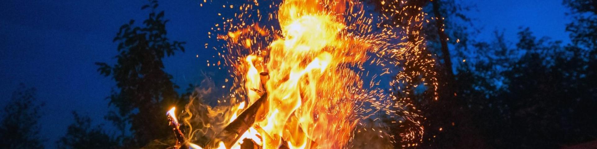
The following Electoral Areas in the Strathcona Regional District reside under provincial legislation (BC Wildfire Act) because the SRD does not have a bylaw for these areas that speaks to the lighting and open fire:
To learn more about or view current bans and restrictions for these areas:
The Quadra Island Fire Department provides fire services to a southern portion of Quadra Island located in the Quadra Island Improvement District as well as areas under the jurisdiction of We Wai Kai Fist Nation through a contractual arrangement. You can find current fire bans and restrictions for this area at on Quadra Island Fire Department’s website or by following them on Facebook.
In the Black Creek / Oyster Bay Fire Protection Local Area, where authority for operating fire protection service was assigned by letters patent to the Comox Valley Regional District on February 15, 2008, that also included the authority to regulate open burning. You can find current fire bans and restrictions for this area at on Oyster River Fire’s website. To report a burning violation, contact the Oyster River Fire Department’s Duty Officer at 250-830-7155.
Current fire bans and restrictions for each community are listed on their websites or Facebook pages, please see links below.
Thanks to funding from the Union of BC Municipalities’ (UBCM) Community Resiliency Investment Program, the SRD has hired a Wild Risk Reduction Coordinator to support FireSmart Initiatives. The coordinator works to increase wildfire resiliency across the SRD, including educating the public on wildfire risk.
If you are interested in a free FireSmart Home Assessment, please contact the Wildfire Risk Reduction Coordinator at wrr@srd.ca or 250-914-9234.
Strathcona Regional District also offers a FireSmart Rebate Program in several communities. Rebates provide financial support to homeowners who undertake FireSmart work on their properties. To learn more, visit the FireSmart Rebate Program page.
The Wildfire Risk Reduction Coordinator holds public education sessions of wildfire and FireSmart initiatives. Based on feedback from residents, the SRD held two such information sessions virtually, for those who were unable to attend in person.
These sessions included:
Watch the session:
Community Wildfire Protection Plans (CWPPs) assists the SRD with reducing and assessing the risk of wildfire to communities in the region.
The purpose of a CWPP is:
A CWPP has two major components: reporting and maps. The reporting component deals with the community, the goals of the plan, and assessed wildfire risks. The maps will outline the community, land ownership, hazards and treatment areas.
Watch a video about your community's wildfire plan.